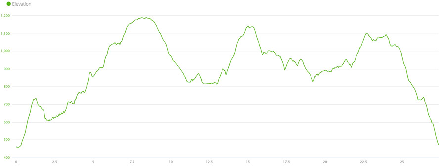
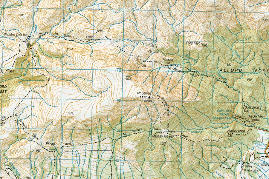
The plan was to run the complete route of Mt Somers, to which DOC attribute 26km and 12-14 hours of tramping, a two day hike, staying one night at Woolshed Creek Hut. We decided that the 26km was and acceptable distance and took off to park at the Sharplin Falls Car Park (460m above sea level). An estimated 4-5 hours to complete the track should do the trick!
When we arrived the car park was totally iced over with a thick layer of black ice. Jackets, gloves, hats and all were thrown on and we started our mission – to be met within the first few hundred meters with a lot of steps and ice tree roots. This was to be the continuing story as we edged our way up towards Pinnacles Hut, on the way round the mountain.
Towards Pinnacles Hut
The first section was the toughest, traversing slippery trees, over icy water on frozen stepping stones, but the trail was pretty smooth in-between rocky outcrops and felled branches, and it was like a winter wonderland, with all the trees frosty and white.
After about 3.5km, we passed a waterfall falling over the track – some parts flowing ice, some parts flowing water. It was a nice break after a slow start with our shoes not yet being able to grip to the melting mud/frost mix underneath our feet.
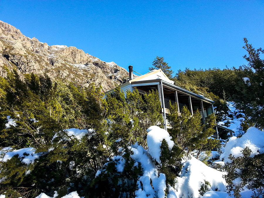
Another steady climb let all the way to Pinnacles Hut where the bushline disappeared and we were greeted with incredible views of snowy peaks around us. The Hut still had that faint smell of smoke and cooked breakfast as we walked in, signing the DOC registry book before continuing on our way. We’d already hit 1h30m, so were well behind time, after covering just 5.5km in that time – but the ground was so slippery it was untrue.
Pinnacles to Woolshed
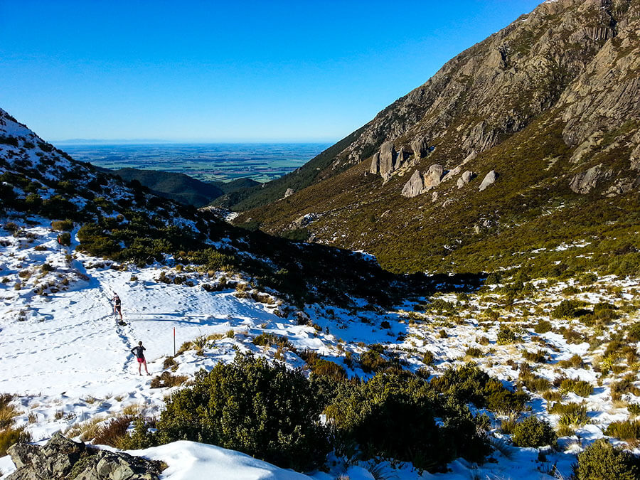
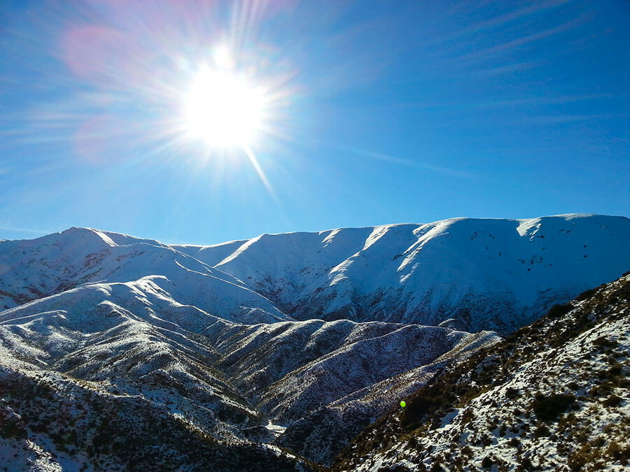
Then came the best bit of the day, the climb from Pinnacles, over to Woolshed Creek – open fresh powdery snow with tall cliffs on the left (Mt Somers) and the wide expanses of white towards Mt Winterslow and beyond. The snow was knee deep in some places as we trudged across the plateau and col (1185m) towards the wider down-slope track. Some trampers had made some nice post-holes for our feet to fit in, but the strides were too short most of the time, and felt like we were doing some sort of army exercise stepping from tire to tire across an assault course!
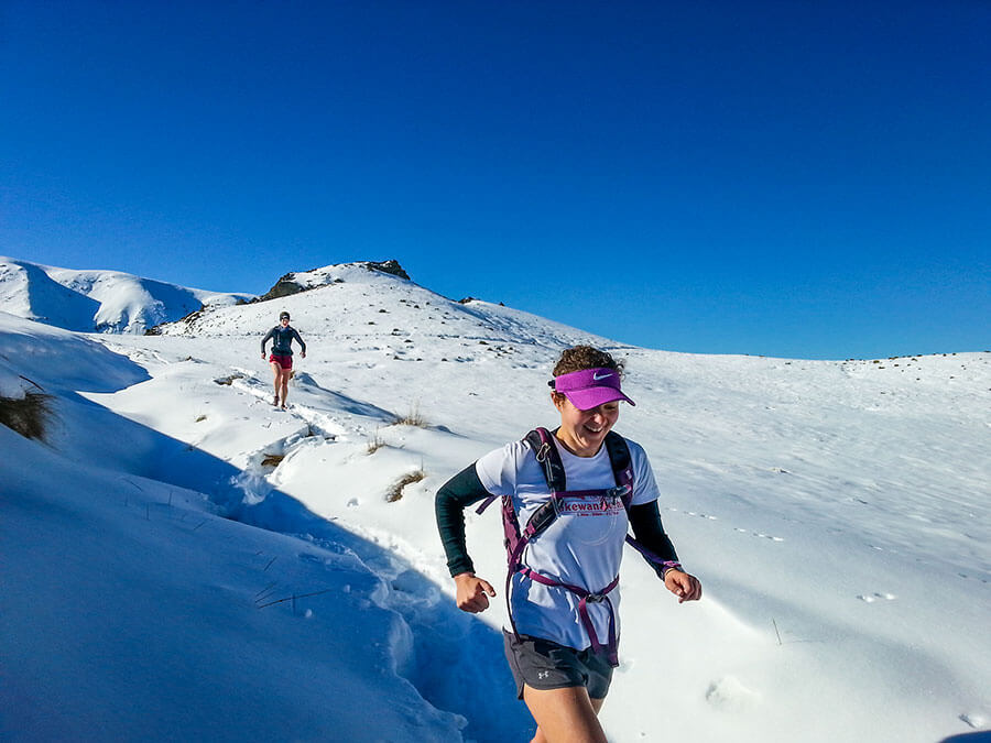
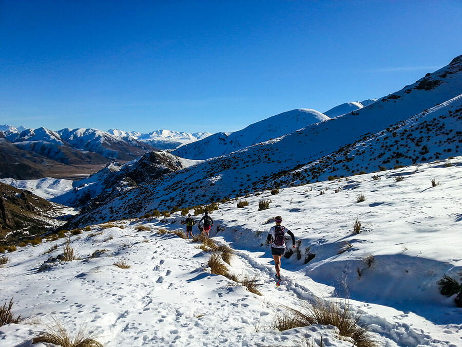
Dan tried his luck with one of the slopes, sliding down on his waterproof jacket from summit, only to go deeper and deeper (head under) the beautiful powdery conditions. Here the sun was full strength and wished we’d brought some hats with us (and sun screen!)… so we put on our Buffs and carried on, running well down towards the Hut.
Woolshed – Acland Shelter
After a another short slip and slide adventure, we hit Woolshed Creek Hut and signed the DOC book (12.2km in and 3 hours in). Greeted be a few families who had made the trek from Jig Road, we had a nice rest in the sunshine.
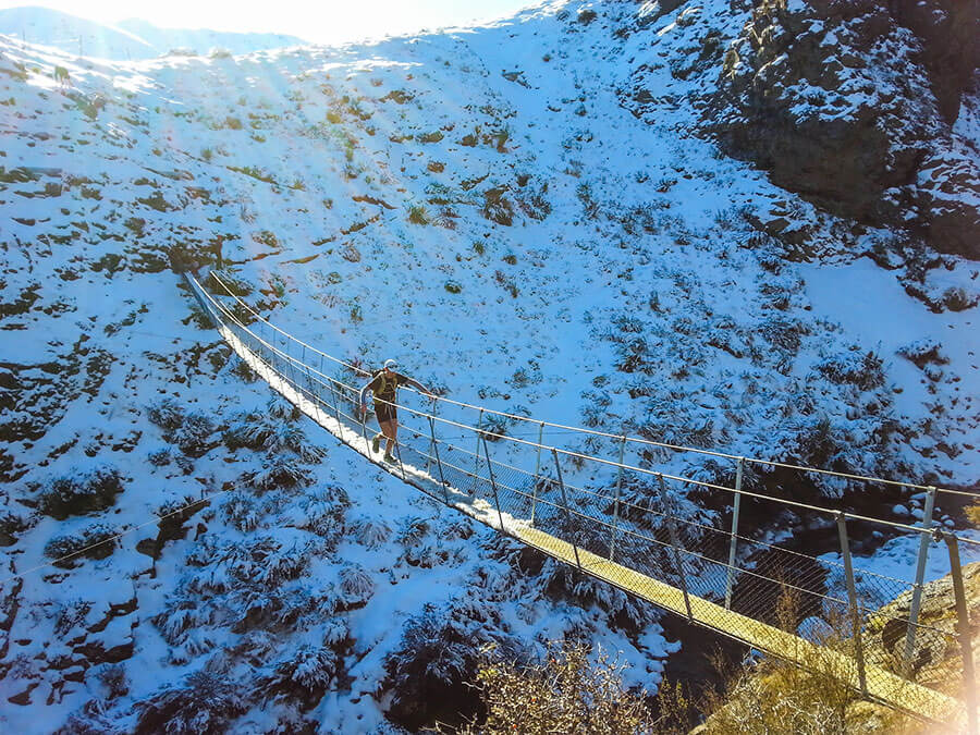
We continued on up and across the swing-bridge and another big climb (we were knackered by then)… up to the Bus Stop Overhang (1143m) which was scorching in the mid-afternoon sun. To top it off there was actually a bus stop sign poking out of the rock… and then a nasty and icy descent onto the plateau that meets the Ryolite Ridge Track (we’d decided against that climb as it was brutal and would have been ~17km into the run). We made it to the track junction and the running became a heck of a lot easier – an actual formed track with no ice (hooray!). We had another rest and then pushed down and back up a stream valley then back down overlooking the plains, heading towards the Acland Shelter (21km along, 915m). This section was mentally quite a struggle as we knew we needed to beat the sunset and also keep warm – so Caralyn took the front and kept the pace going fast(er).
Acland Shelter & final descent
We hit the shelter at and signed in at 5h30m into our adventure. We had a bit more food and started the ‘distance vs sunset challenge’. From here there was another ascent through the woods towards the summit track junction, then, thankfully it was all downhill to the car park!
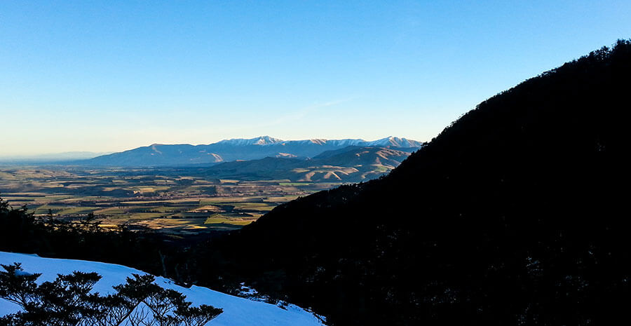
It took us 50 minutes to plough through the mud and ice towards the summit junction which gave us 40mins to get back to the car in the daylight. The challenge was on! A 4km, 600m descent with diminishing light on loose rock, icy, and frozen ground… nice!
We hit the car park at just over 7 hours… what a hell of an adventure having seen every kind of trail and environment you can imagine. Still, first time around the full circuit and some slow going conditions to boot. What a day!
